
Service requests for county roads and services.
Sentra 311 places requests in the right supervisorial district, routes them to the right department, and refers what belongs to a city or another agency — honestly.
Counties
Service requests for county roads and services
Counties field requests about county roads, drainage, vegetation, illegal dumping and code enforcement in unincorporated areas — and many requests that belong to a city or another agency. Sentra 311 places each request in the right supervisorial district using your ArcGIS layers, routes it to the right county department, and refers what belongs elsewhere with an honest status residents can understand.
A referral shows “Sent to County Public Works” with that agency’s phone and website, never “Closed”, so residents know where their report went. See closed means closed.
Crews spread across many miles
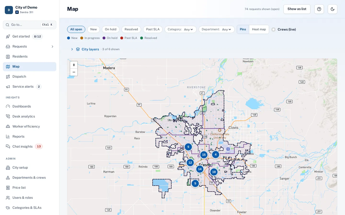
County crews drive long distances between jobs. Dispatch splits work by area and orders each route by real drive time, and the worker app carries the route, the next stop and close-out with photos. Live crew locations are available as an opt-in feature for counties that want them.
Requests from every channel
Residents in unincorporated areas report on the county’s report page, the resident app or the AI chat; staff file phone calls on one screen; and county IT can accept requests from other systems through Open311. Every request lands in one queue, routed by type and district, with business-hour deadlines and escalations when work runs late.
District reports summarize received, closed and open requests and time to close for each supervisorial district, and can be emailed to supervisors’ offices on a schedule.
Your GIS, used everywhere
Supervisorial districts, road maintenance areas and service zones come straight from your ArcGIS layers, are recorded on every request and can group any report. Your address points and parcel numbers are used first in address search.
Pricing for counties
Sentra 311 is one plan priced by population. Counties are quoted directly based on the population and services in scope — contact us for a quote.
How setup works
Setup starts with a conversation about how requests reach you today and who handles them.
- Together we build your request types and their questions, routing to departments and crews, deadlines in your business hours and holidays, and your report page’s look.
- Your staff are trained over Teams, and the one-time setup fee covers all of it.
- Your city website gets a “Report a problem” button with one script tag, and your history can be imported with the importer, with an undo button if anything needs another pass.
After launch, your own staff change request types, forms, routing and deadlines from the admin portal. The built-in help center has guides for city staff and field workers, and Ask Sentra 311 answers how-to questions inside the product.
Accessibility, security and privacy
Public pages and apps are built to WCAG 2.1 AA and checked with automated accessibility tests on every release, an important consideration as the ADA Title II web rule deadlines approach.
- Each city’s data is kept separate, permissions are enforced by the server, and every change is recorded in an audit log.
- Usage analytics are cookie-free, residents’ contact details are shown only to staff who need them, and AI features never receive residents’ personal details.
- See security and accessibility.
How it works
- Resident
Residents report
From anywhere in the county: web, app, chat or phone.
- Automatic
Located by your GIS
Your layers add district, parcel and other lookups to every request.
- County staff
Worked or referred
Departments work their requests; others are referred to the right agency with its contact.
Resident sees “Sent to County Public Works”
- Leadership
Reported by area
Reports grouped by district or any of your GIS layers.
Why it fits
Districts from your GIS
Supervisorial districts and service areas from your ArcGIS layers.
Refer, don’t lose
Referrals show "Sent to County Public Works" with their contact, never "Closed".
Crews spread across miles
Dispatch routes ordered by real drive time.
Talk to us about pricing
One plan priced by population; counties are quoted directly.
Explore the features
Map & GIS
Requests on a map, with your city’s own layers
Learn moreDistricts & parcels
Council districts and parcel numbers on every request
Learn moreDispatch & routes
Plan jobs for one or more workers, routed by drive time
Learn moreClosed means closed
Proof to close, honest status for residents
Learn morePublic records (PRA)
Draw an area and a date range, export every request as CSV or PDF
Learn moreOpen311 & API
Standards-based integration for IT
Learn moreQuestions cities ask
Can cities and the county use it together?
Each agency has its own Sentra 311 site; referrals carry the receiving agency’s contact details to the resident.
Does it support Open311?
Yes. Open311 GeoReport v2, webhooks and a REST API are included. See integration.