
A report for every council district.
From the request queue: received, closed, open now, past SLA, time to close, SLA met and top request types for every district. Download it or email it on a schedule.
What it does
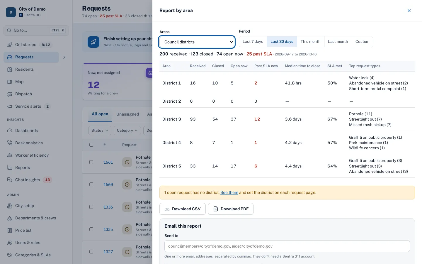
From the request queue, Report by area opens a summary for every council district for any period: requests received, closed, open now, past SLA now, median time to close, SLA met and the top request types. Every district appears, even one with no requests, so each council office sees its own row.
Download it as CSV or PDF, send it now to any email addresses, or schedule it daily, weekly or monthly. Any GIS layer can be the “area” — trash pickup routes, parks, sweeping routes — not just council districts.
Council offices want their district’s numbers, every week, without asking.
How it works
Open "Report by area"
Pick council districts or any GIS layer, and a period.
Check the table
Every district listed, even with zero, plus a total.
Email it
Once, or daily, weekly or monthly at 7 AM.
Key features
Every district listed
Natural order, a total row, and unplaced requests last.
Fix missing districts
A link to requests with no district; set it on each request page.
Send now or schedule
Daily, weekly or monthly at 7 AM city time, as PDF or CSV.
Any area layer
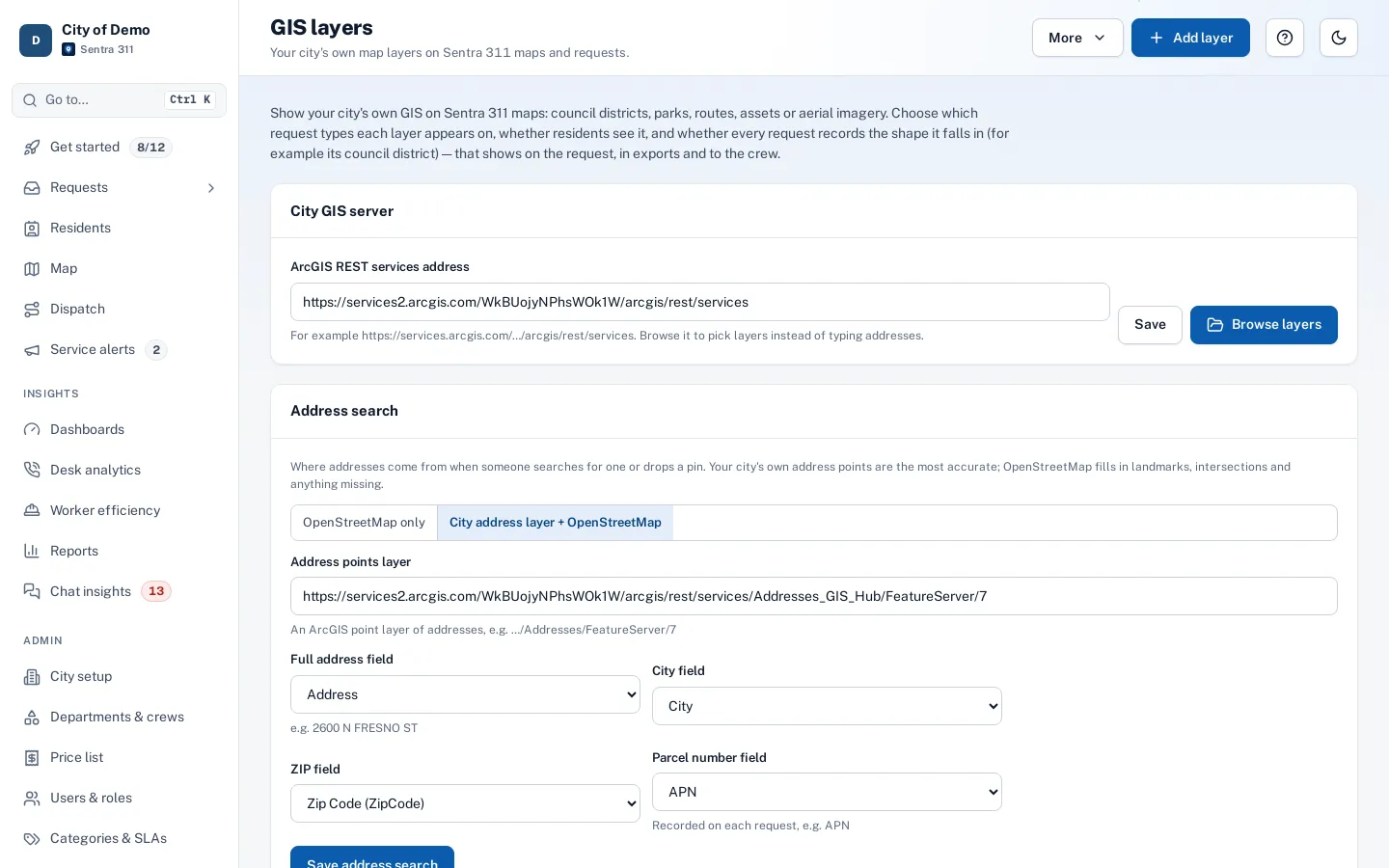
Use your GIS lookup layers as the areas.
A day with it
Each row is a council district: requests received in the period, requests closed in the period, requests open now, open requests past their SLA, median time to close, the share closed within SLA, and the three most common request types with their counts.
- Districts with no requests still get a row with zeros.
- Requests the map couldn’t place appear in a “No district” row, and a total row sums everything.
- The report opens from the request queue’s “Report by area” button as a wide panel.
- Choose the period (last 7 days, last 30 days, this month, last month, or custom dates) and the area layer.
- Download it as CSV or PDF, or email it from the same panel.
In practice
- Weekly email to council. Each council office receives the district summary every Monday at 7 AM.
- Zero is a result too. A district with no requests this week still gets its row.
- Missing districts fixed. The “No district” row links to the requests that need one.
Emailing it to council offices
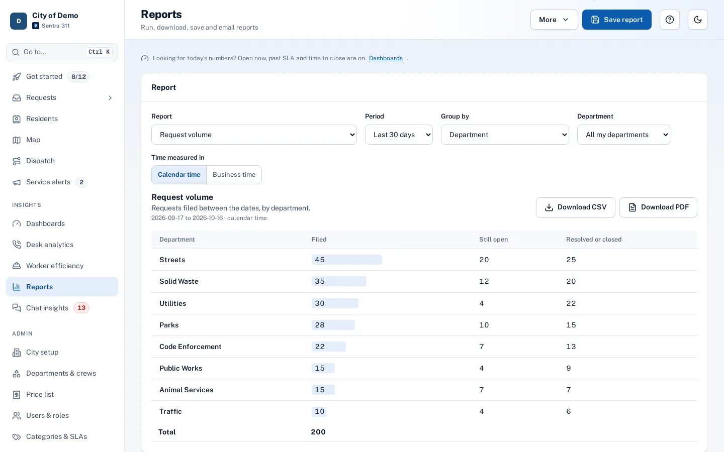
Enter one or more email addresses — council members, aides, the city manager; they don’t need accounts — choose Just once, Daily, Weekly or Monthly and PDF or CSV, and send. Schedules are managed with other saved reports on the Reports page.
Keeping districts accurate
Requests without a district usually have no pin or a pin outside every boundary. The area report shows how many open requests have no district, with a link that opens them in the queue filtered to “No district (needs one)”.
Who uses it
Council members and aides
A weekly picture of their district.
City managers
Compare districts fairly.
Clerks
Packets without manual counting.
Questions cities ask
Can council members see their own district?
Yes. With the read-only Elected official role, they sign in to a “My district” page for their district: numbers against the previous period, top issues, past-due and oldest open requests and a map, with no resident contact details and nothing to edit. See for elected officials.
Where do districts come from?
From your district boundaries or GIS layers. See districts & parcels.
Can a council member see only their district?
The report lists every district; send it to each office, or filter by area layer for other groupings.
Can we use areas other than council districts?
Yes. Any GIS lookup layer — trash routes, parks, sweeping routes — can be the area.